EU, European Union, Europe Unie, Europa Unida
Pages
(Move to ...)
▼
Saturday, 18 April 2020
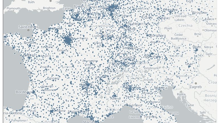
Mapping healthcare services
Combining geospatial information and statistics can provide additional information and enable spatial analysis and the evaluation of the current infrastructure. Mapping healthcare services is one such example.
No comments:
Post a Comment
‹
›
Home
View web version
No comments:
Post a Comment